Nairobi National Park map and landmarks
Short answer (updated October 2026): Nairobi National Park is a 117 km² triangle on Nairobi's southern edge. Enter by Main Gate (Lang'ata Road), East Gate (near JKIA) or Mbagathi Gate (Magadi Road). The plains and dams sit in the middle, the Ivory Burning Site is just inside Main Gate, and the Hippo Pools lie in the south-east by the Mbagathi River.
Interactive map of Nairobi National Park
Zoom and drag the map below. The park is the large green area between Lang'ata Road in the north, Mombasa Road in the east and the Mbagathi River in the south.
Open the larger map. Mobile signal is good near the city edge and patchy in the south, so download an offline map before a self-drive.
Park zones at a glance
Think of the park in four parts: the forested north-west near Main Gate, the central plains and dams, the eastern plains near the airport, and the river country in the south where the park opens to the Kitengela plains.
| Zone | Where | What it is like | What to look for |
|---|---|---|---|
| North-west forest | Around Main Gate and Lang'ata Road | Upland dry forest, shade, winding tracks | Bushbuck, birds, the Ivory Burning Site |
| Central plains and dams | Middle of the park | Open grassland with permanent water | Rhino, buffalo, giraffe, zebra, lions on a good morning |
| Eastern plains | Between East Gate and the centre | Wide grass with the skyline and aircraft behind | Zebra, hartebeest, ostrich, the classic skyline photo |
| Southern river country | Along the Mbagathi and Athi rivers | Riverine trees, gullies and rocky ground | Hippos, crocodiles, giraffe, the Hippo Pools trail |
Gates on the map
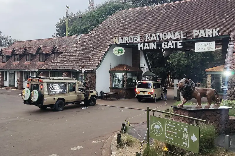
Three gates are open: Main Gate in the north-west for city hotels, East Gate in the east for JKIA and Mombasa Road, and Mbagathi Gate in the south-west on Magadi Road. Cheetah Gate is closed.
The gates guide covers opening times, payment and which gate suits your hotel. Directions from the city are on how to get to Nairobi National Park.
Nairobi National Park landmarks and viewpoints
The landmarks most visitors ask about are the Ivory Burning Site Monument near Main Gate, the Hippo Pools nature trail in the south-east, the central dams, the SGR bridge, the picnic sites and the southern edge that opens to the Kitengela plains.
Ivory Burning Site Monument
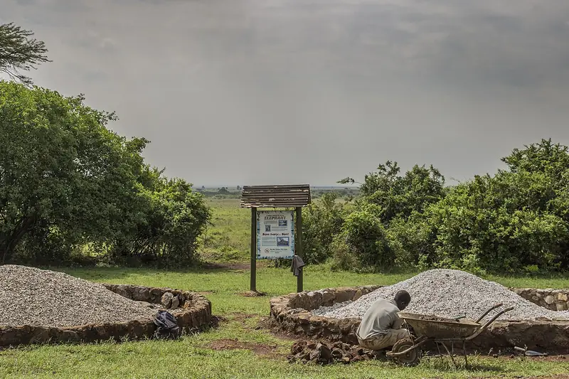
Just inside Main Gate stands the monument marking the place where Kenya burned seized ivory in 1989, and again in 2015 and 2016. It is a short stop on most drives that start from Main Gate and one of the few places where you may stand outside the vehicle. The history of the burns is told in full in the park guide.
Hippo Pools and nature trail
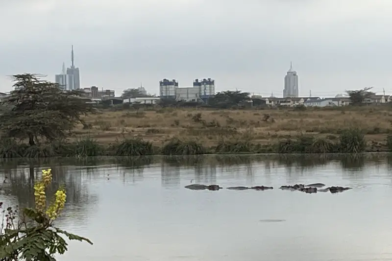
In the south-east, by the Mbagathi River, a short trail follows the riverbank with an armed KWS ranger. Hippos rest in the deeper pools and crocodiles bask on the banks. It is a long drive from Main Gate, so it fits a full day or a half-day that starts from East Gate better than a short layover. More on the animals is on the hippos page.
Nairobi Dam and the central dams
Several dams in the middle of the park hold water through the dry months. In June to October and in January and February they draw rhino, buffalo and plains game, so our guides check them early in the drive.
The SGR bridge
The elevated Standard Gauge Railway crosses the park on a long viaduct. Animals walk freely underneath it, and it appears in many skyline photographs from the eastern plains. The story of its construction is in the park guide.
Southern boundary and the Kitengela plains
The south of the park has no fence. Wildebeest, zebra and other grazers move between the park and the Kitengela plains with the seasons. From the southern tracks you look across open land toward the Ngong Hills on a clear morning.
Sheldrick elephant nursery
The Sheldrick Wildlife Trust nursery sits in the south-west corner, reached through Mbagathi Gate. It is visited separately from a game drive, during its public hour. See Sheldrick entry and booking.
Picnic sites
Picnic sites are designated places where you may leave the vehicle, stretch and eat. Impala Point and Kingfisher are among the named sites. Our guides choose the stop that fits the route and the morning's sightings.
Picnic sites have basic shelter. Keep food packed away when monkeys or baboons are close, take all rubbish out with you, and stay near the vehicle. A full-day safari usually includes a picnic stop; on a half-day it is a short break.
Typical routes on our drives
From city hotels we usually enter at Main Gate and loop through the forest to the central plains and dams. From JKIA we use East Gate and stay on the eastern plains. A full day adds the southern river country and the Hippo Pools.
| Tour | Gate | Route |
|---|---|---|
| Half-day game drive | Main Gate | Forest, central plains, dams, back by late morning |
| JKIA layover | East Gate | Eastern plains and the skyline, timed to your flights |
| Full-day safari | Main Gate or East Gate | Plains, dams, picnic site, southern river country and Hippo Pools |
| Park, Sheldrick and Giraffe Centre | Main Gate | Morning drive, then the Sheldrick nursery and the Giraffe Centre |
The route is never fixed. Guides talk to each other through the morning and go where the lions, rhinos and cheetahs were last seen. To see where each animal tends to be, read the animals guide.
Want a route planned around your hotel?
Send your hotel and date. We pick the gate and route for the best morning.
Nairobi National Park map FAQ
Is there a printed map of Nairobi National Park?
Kenya Wildlife Service sells and displays park maps at Main Gate. Our driver-guides carry the route in their heads, so on a guided drive you do not need one. Self-drive visitors should pick one up at the gate and also download an offline map before entering.
Which gates are open?
Main Gate on Lang'ata Road, East Gate off Mombasa Road near JKIA, and Mbagathi Gate on Magadi Road. Cheetah Gate is closed. See the gates guide.
Where can I get out of the vehicle?
Only at designated picnic sites, marked viewpoints and the ranger-escorted Hippo Pools trail. Everywhere else you stay inside the vehicle.
How big is Nairobi National Park?
About 117 square kilometres, fenced on the city sides and open to the Kitengela plains in the south.
Related pages
Book this safari
Send the date, the group, and the pickup. We confirm availability on WhatsApp or email, with the tour price and the park fees to budget. See our deposit and cancellation policy.